Carlton level crossing
Introduction
The photograph on this page of Carlton level crossing by John Sutton as part of the Geograph project.
The Geograph project started in 2005 with the aim of publishing, organising and preserving representative images for every square kilometre of Great Britain, Ireland and the Isle of Man.

There are currently over 7.5m images from over 14,400 individuals and you can help contribute to the project by visiting https://www.geograph.org.uk
Carlton level crossing
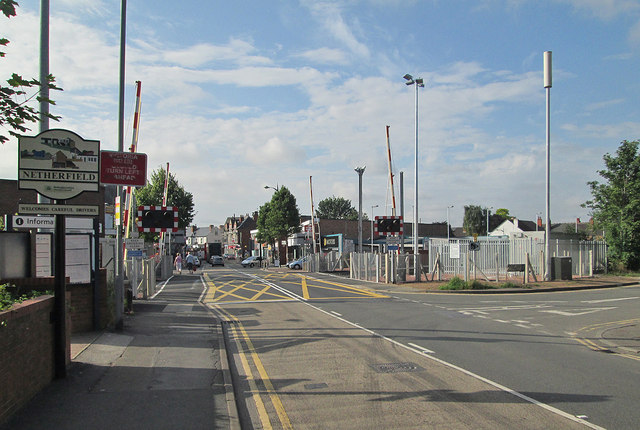
Image: © John Sutton Taken: 22 Aug 2013
The platforms of Carlton station, on the Nottingham-Lincoln line, are staggered, the eastbound platform to the left of the crossing, the westbound to the right. The station was formerly Carlton & Netherfield, to distinguish it from Netherfield & Colwick on the Grantham line. Carlton is behind the camera, Netherfield (a one-time railway town) straight ahead.
Images are licensed for reuse under creativecommons.org/licenses/by-sa/2.0
Image Location
Latitude
52.965042
Longitude
-1.078805