Level Crossing Bistro & Beds, Llandovery
Introduction
The photograph on this page of Level Crossing Bistro & Beds, Llandovery by Jaggery as part of the Geograph project.
The Geograph project started in 2005 with the aim of publishing, organising and preserving representative images for every square kilometre of Great Britain, Ireland and the Isle of Man.

There are currently over 7.5m images from over 14,400 individuals and you can help contribute to the project by visiting https://www.geograph.org.uk
Level Crossing Bistro & Beds, Llandovery
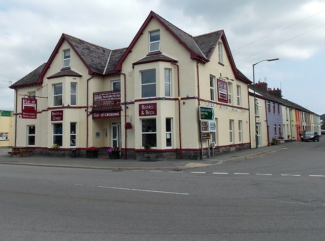
Image: © Jaggery Taken: 25 Aug 2013
Bunkhouse, bistro and bar located on the corner of the A40 and A483, opposite Llandovery railway station and level crossing. The building was formerly The North Western http://www.geograph.org.uk/photo/2646226 The colourful houses on the right are in New Road (the A483).
Images are licensed for reuse under creativecommons.org/licenses/by-sa/2.0
Image Location
Latitude
51.995322
Longitude
-3.802101