Crossroads west of Darite
Introduction
The photograph on this page of Crossroads west of Darite by Tony Atkin as part of the Geograph project.
The Geograph project started in 2005 with the aim of publishing, organising and preserving representative images for every square kilometre of Great Britain, Ireland and the Isle of Man.

There are currently over 7.5m images from over 14,400 individuals and you can help contribute to the project by visiting https://www.geograph.org.uk
Crossroads west of Darite
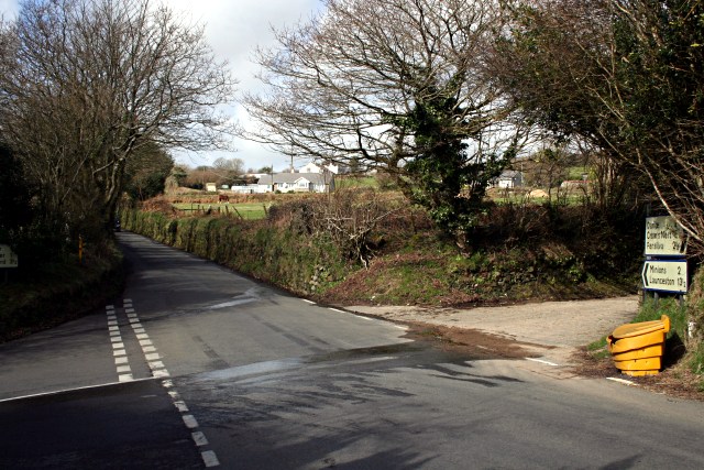
Image: © Tony Atkin Taken: 10 Mar 2007
The yellow salt/sand bin on the corner tells a story. Firstly that at over 200 metres, the land here is high enough for icy roads to be a problem in the winter. Secondly, if you want the junction salted then bring a shovel and do it yourself!
Images are licensed for reuse under creativecommons.org/licenses/by-sa/2.0
Image Location


Leaflet Map data © OpenStreetMap
Latitude
50.498312
Longitude
-4.463233