Netherfield: Matlock Street
Introduction
The photograph on this page of Netherfield: Matlock Street by John Sutton as part of the Geograph project.
The Geograph project started in 2005 with the aim of publishing, organising and preserving representative images for every square kilometre of Great Britain, Ireland and the Isle of Man.

There are currently over 7.5m images from over 14,400 individuals and you can help contribute to the project by visiting https://www.geograph.org.uk
Netherfield: Matlock Street
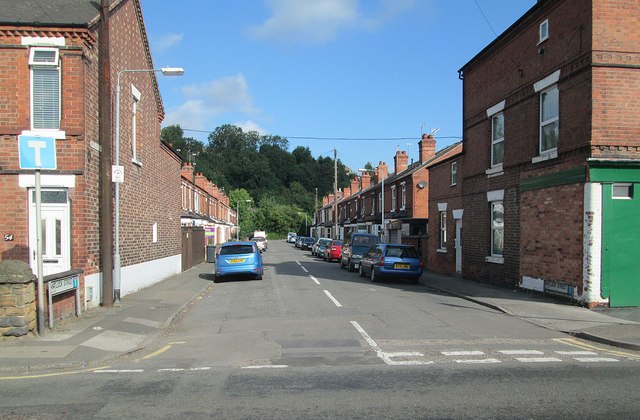
Image: © John Sutton Taken: 22 Aug 2013
A typical late-Victorian terraced street in what was from the 1870s to the 1960s predominantly a railway town, built to house the workforce at the huge Colwick loco shed and marshalling yards.
Images are licensed for reuse under creativecommons.org/licenses/by-sa/2.0
Image Location
Latitude
52.96299
Longitude
-1.080784