Penglais Farm demolition
Introduction
The photograph on this page of Penglais Farm demolition by Ian Capper as part of the Geograph project.
The Geograph project started in 2005 with the aim of publishing, organising and preserving representative images for every square kilometre of Great Britain, Ireland and the Isle of Man.

There are currently over 7.5m images from over 14,400 individuals and you can help contribute to the project by visiting https://www.geograph.org.uk
Penglais Farm demolition
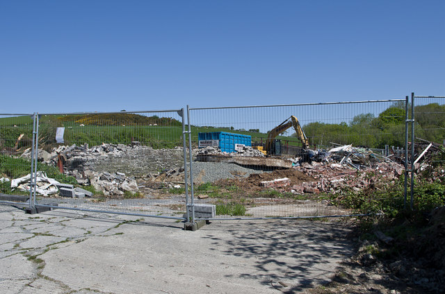
Image: © Ian Capper Taken: 31 May 2013
Demplition under way at Pengalis Farm, in preparation for its development as an accommodation complex for students at Aberystwyth University.
Images are licensed for reuse under creativecommons.org/licenses/by-sa/2.0
Image Location
Latitude
52.422697
Longitude
-4.063226