A view from the new footbridge at Trent Lane
Introduction
The photograph on this page of A view from the new footbridge at Trent Lane by John Sutton as part of the Geograph project.
The Geograph project started in 2005 with the aim of publishing, organising and preserving representative images for every square kilometre of Great Britain, Ireland and the Isle of Man.

There are currently over 7.5m images from over 14,400 individuals and you can help contribute to the project by visiting https://www.geograph.org.uk
A view from the new footbridge at Trent Lane
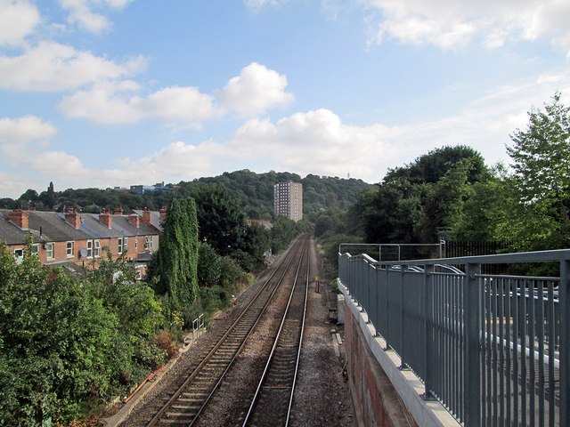
Image: © John Sutton Taken: 22 Aug 2013
The lines to Lincoln and Grantham divide at Netherfield. In the distance the tower block on Colwick Road is outlined against Colwick Woods. A 1950s childhood memory of going on the train to see an aunt at Rolleston is of the tin baths hanging by the back doors of the houses on Whittier Road, on the left. Image] is a view in this direction from the foot crossing the new bridge has superseded.
Images are licensed for reuse under creativecommons.org/licenses/by-sa/2.0
Image Location
Latitude
52.948829
Longitude
-1.122162