What lies below?
Introduction
The photograph on this page of What lies below? by cris sloan as part of the Geograph project.
The Geograph project started in 2005 with the aim of publishing, organising and preserving representative images for every square kilometre of Great Britain, Ireland and the Isle of Man.

There are currently over 7.5m images from over 14,400 individuals and you can help contribute to the project by visiting https://www.geograph.org.uk
What lies below?
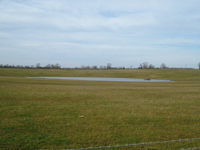
Image: © cris sloan Taken: 11 Mar 2007
After opencast, the land was filled and this new lake is formed, off Melbourne Road
Images are licensed for reuse under creativecommons.org/licenses/by-sa/2.0
Image Location
Latitude
52.70985
Longitude
-1.406864