Rowallane Close, Saintfield
Introduction
The photograph on this page of Rowallane Close, Saintfield by Albert Bridge as part of the Geograph project.
The Geograph project started in 2005 with the aim of publishing, organising and preserving representative images for every square kilometre of Great Britain, Ireland and the Isle of Man.

There are currently over 7.5m images from over 14,400 individuals and you can help contribute to the project by visiting https://www.geograph.org.uk
Rowallane Close, Saintfield
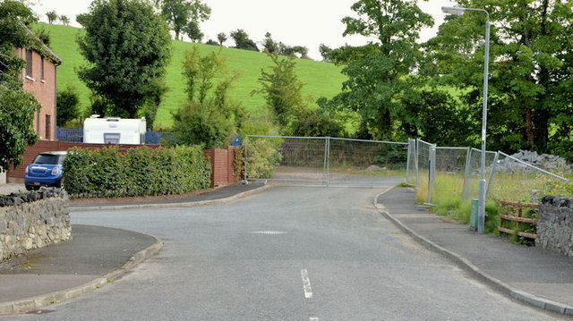
Image: © Albert Bridge Taken: 26 Aug 2013
The southern end of a development parallel to the Crossgar Road. The road seems to have been built to allow for further development sometime in the future.
Images are licensed for reuse under creativecommons.org/licenses/by-sa/2.0
Image Location
Latitude
54.452765
Longitude
-5.823575