Old Leat
Introduction
The photograph on this page of Old Leat by jeff collins as part of the Geograph project.
The Geograph project started in 2005 with the aim of publishing, organising and preserving representative images for every square kilometre of Great Britain, Ireland and the Isle of Man.

There are currently over 7.5m images from over 14,400 individuals and you can help contribute to the project by visiting https://www.geograph.org.uk
Old Leat
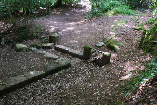
Image: © jeff collins Taken: 21 Aug 2013
Further down the path the Leat is clearly visible, here the water could be diverted back into the river using the small sluish gate part of which is still in place, or allowed to carry on down the leat.
Images are licensed for reuse under creativecommons.org/licenses/by-sa/2.0
Image Location
Latitude
50.395111
Longitude
-3.921086