River Erme
Introduction
The photograph on this page of River Erme by jeff collins as part of the Geograph project.
The Geograph project started in 2005 with the aim of publishing, organising and preserving representative images for every square kilometre of Great Britain, Ireland and the Isle of Man.

There are currently over 7.5m images from over 14,400 individuals and you can help contribute to the project by visiting https://www.geograph.org.uk
River Erme
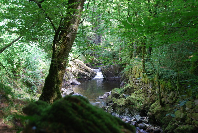
Image: © jeff collins Taken: 21 Aug 2013
A short distance down stream of the viaduct, the gorge cut out by the river gradually becomes deeper .
Images are licensed for reuse under creativecommons.org/licenses/by-sa/2.0
Image Location
Latitude
50.396017
Longitude
-3.920701