Lambert's Leap, Sandyford Road
Introduction
The photograph on this page of Lambert's Leap, Sandyford Road by Andrew Curtis as part of the Geograph project.
The Geograph project started in 2005 with the aim of publishing, organising and preserving representative images for every square kilometre of Great Britain, Ireland and the Isle of Man.

There are currently over 7.5m images from over 14,400 individuals and you can help contribute to the project by visiting https://www.geograph.org.uk
Lambert's Leap, Sandyford Road
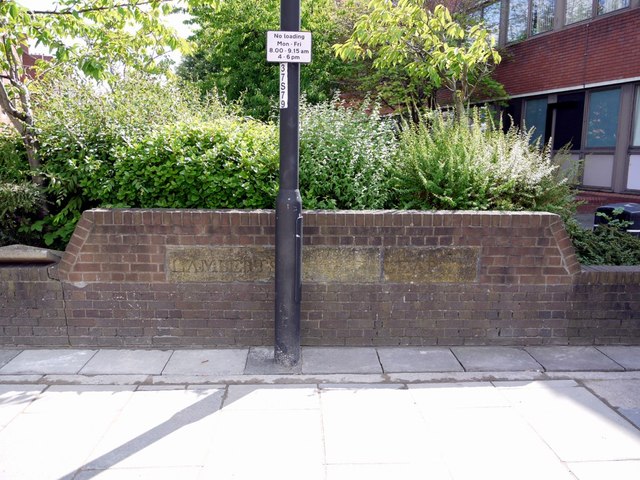
Image: © Andrew Curtis Taken: 9 Aug 2013
The carved stone lettering set into the modern brick wall located behind a bus shelter on Sandyford Road, at its junction with Grantham Road, is the only visible memory of the once famous site of the local legend known as Lambert's Leap Image At the time of the famous leap, 20th September 1759, there was a narrow bridge here which crossed the deep wooded Sandyford Dene, a tributary of the Ouse Burn further east. Cuthbert Lambert, a young customs officer, and son of a famous Newcastle Physician, was riding his horse when it suddenly went out of control and jumped the parapet of the bridge, thinking it was merely a boundary. The horse fell 37 feet to its death, breaking every bone in its back. Although some accounts suggest Lambert remained in the saddle until the bottom, others describe how he was saved by grasping hold of the projecting branches of an old ash tree. His miraculous survival became an instant sensation, retold in news-sheets across the country. The lettering was carved in the coping stones of the bridge parapet. An aquatint depicting the incident by P Dawne dated 1786 is in the British Library collection http://www.bl.uk/onlinegallery/onlineex/kinggeorge/l/003ktop00000032u057g0000.html Twelve years later another rider suffered the same ordeal and also survived, but a Newcastle surgeon, Nicholson, was killed in a similar accident in 1827. The dene was filled in not long after and Sandyford Burn now flows in a culvert below Grantham Road. There was once a nearby public house named Lambert's Leap with a suitable sign depicting the dramatic scene. It closed in 1971 and was demolished and little remains to keep the place name in use.
Images are licensed for reuse under creativecommons.org/licenses/by-sa/2.0
Image Location
Latitude
54.981379
Longitude
-1.601375