The Aber-Tafol milepost in its setting
Introduction
The photograph on this page of The Aber-Tafol milepost in its setting by Richard Law as part of the Geograph project.
The Geograph project started in 2005 with the aim of publishing, organising and preserving representative images for every square kilometre of Great Britain, Ireland and the Isle of Man.

There are currently over 7.5m images from over 14,400 individuals and you can help contribute to the project by visiting https://www.geograph.org.uk
The Aber-Tafol milepost in its setting
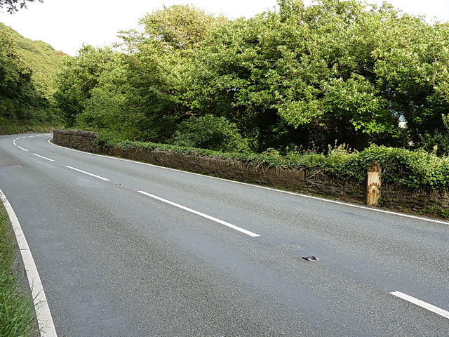
Image: © Richard Law Taken: 24 Aug 2013
This stretch of the A483 is hard to photograph. There are few lay-bys, and little room to walk for pedestrians. I had to jump up onto the wall a couple of times as cars passed rather too close for comfort.
Images are licensed for reuse under creativecommons.org/licenses/by-sa/2.0
Image Location
Latitude
52.550525
Longitude
-4.004274