Burns Street
Introduction
The photograph on this page of Burns Street by John Sutton as part of the Geograph project.
The Geograph project started in 2005 with the aim of publishing, organising and preserving representative images for every square kilometre of Great Britain, Ireland and the Isle of Man.

There are currently over 7.5m images from over 14,400 individuals and you can help contribute to the project by visiting https://www.geograph.org.uk
Burns Street
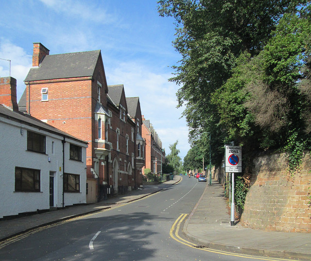
Image: © John Sutton Taken: 23 Aug 2013
When Nottingham expanded beyond its mediaeval core after the Enclosure Act of 1845, some of the first suburbs were built in the area north of the city centre, between Alfreton and Mansfield Roads, with the grander houses in the streets near All Saints' Church.
Images are licensed for reuse under creativecommons.org/licenses/by-sa/2.0
Image Location
Latitude
52.960792
Longitude
-1.160478