The Ramblers Rest, Outwood Lane
Introduction
The photograph on this page of The Ramblers Rest, Outwood Lane by Marathon as part of the Geograph project.
The Geograph project started in 2005 with the aim of publishing, organising and preserving representative images for every square kilometre of Great Britain, Ireland and the Isle of Man.

There are currently over 7.5m images from over 14,400 individuals and you can help contribute to the project by visiting https://www.geograph.org.uk
The Ramblers Rest, Outwood Lane
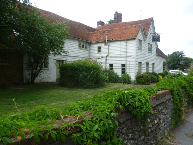
Image: © Marathon Taken: 14 Aug 2013
A plaque on the other side of the pub says: "This house dates from the reign of Queen Elizabeth I. It stands on the site of a 13th century farmhouse which was called Dene Farm until 1993. Records of the house and its occupants exist from 1301 until the present day." It only became a pub in 1993.
Images are licensed for reuse under creativecommons.org/licenses/by-sa/2.0
Image Location
Latitude
51.302655
Longitude
-0.174572