Old Ditch Farmhouse
Introduction
The photograph on this page of Old Ditch Farmhouse by Derek Harper as part of the Geograph project.
The Geograph project started in 2005 with the aim of publishing, organising and preserving representative images for every square kilometre of Great Britain, Ireland and the Isle of Man.

There are currently over 7.5m images from over 14,400 individuals and you can help contribute to the project by visiting https://www.geograph.org.uk
Old Ditch Farmhouse
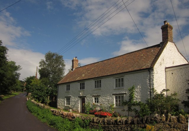
Image: © Derek Harper Taken: 18 Aug 2013
Two nearby farmhouses are listed as Old Ditch Farmhouse. This one is described at http://gohistoric.com/places/old-ditch-farmhouse-westbury . For the other, see Image On the left is Lynch Lane.
Images are licensed for reuse under creativecommons.org/licenses/by-sa/2.0
Image Location
Latitude
51.241049
Longitude
-2.715351