Red Road flats seen from Blairskaith Muir
Introduction
The photograph on this page of Red Road flats seen from Blairskaith Muir by Richard Webb as part of the Geograph project.
The Geograph project started in 2005 with the aim of publishing, organising and preserving representative images for every square kilometre of Great Britain, Ireland and the Isle of Man.

There are currently over 7.5m images from over 14,400 individuals and you can help contribute to the project by visiting https://www.geograph.org.uk
Red Road flats seen from Blairskaith Muir
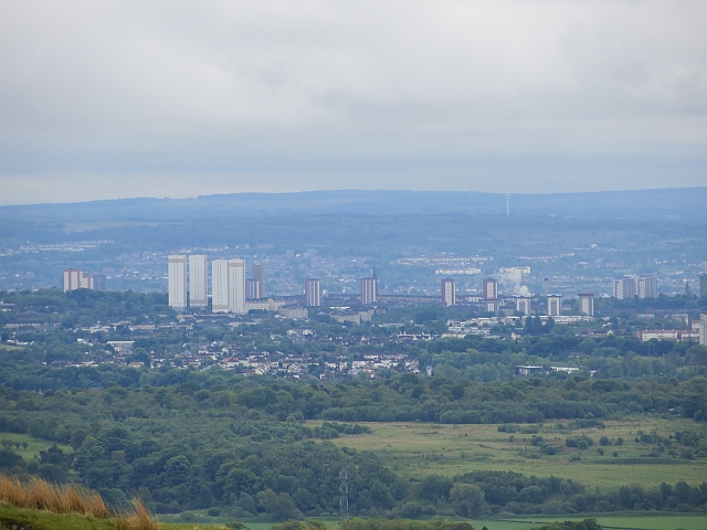
Image: © Richard Webb Taken: 31 May 2013
View south from the triangulation pillar (NS 59566 76746) towards Glasgow with the surviving flats visible. This view will change as more of the high rise buildings are demolished.
Images are licensed for reuse under creativecommons.org/licenses/by-sa/2.0
Image Location
Latitude
55.879814
Longitude
-4.208668