Orange Way after Wiltshire (405)
Introduction
The photograph on this page of Orange Way after Wiltshire (405) by Shazz as part of the Geograph project.
The Geograph project started in 2005 with the aim of publishing, organising and preserving representative images for every square kilometre of Great Britain, Ireland and the Isle of Man.

There are currently over 7.5m images from over 14,400 individuals and you can help contribute to the project by visiting https://www.geograph.org.uk
Orange Way after Wiltshire (405)
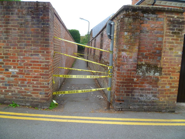
Image: © Shazz Taken: 23 Aug 2013
Seven Corner Alley was closed so I had to take the long way round and went past the eastern end of the closed way here. This was not good. Only 21 days earlier I had been thwarted at Tilehust - see http://www.geograph.org.uk/photo/3583630.
Images are licensed for reuse under creativecommons.org/licenses/by-sa/2.0
Image Location
Latitude
51.568955
Longitude
-0.771103