Start of public footpath through fields
Introduction
The photograph on this page of Start of public footpath through fields by Maggie Cox as part of the Geograph project.
The Geograph project started in 2005 with the aim of publishing, organising and preserving representative images for every square kilometre of Great Britain, Ireland and the Isle of Man.

There are currently over 7.5m images from over 14,400 individuals and you can help contribute to the project by visiting https://www.geograph.org.uk
Start of public footpath through fields
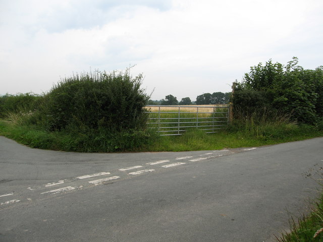
Image: © Maggie Cox Taken: 23 Aug 2013
Leading from the junction of minor roads near Ifton Hall to Rock Farm
Images are licensed for reuse under creativecommons.org/licenses/by-sa/2.0
Image Location


Leaflet Map data © OpenStreetMap
Latitude
52.939745
Longitude
-3.002863