The Rood/Long Croft
Introduction
The photograph on this page of The Rood/Long Croft by Simon Carey as part of the Geograph project.
The Geograph project started in 2005 with the aim of publishing, organising and preserving representative images for every square kilometre of Great Britain, Ireland and the Isle of Man.

There are currently over 7.5m images from over 14,400 individuals and you can help contribute to the project by visiting https://www.geograph.org.uk
The Rood/Long Croft
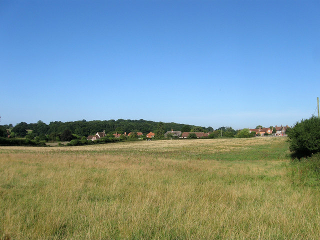
Image: © Simon Carey Taken: 20 Aug 2013
The name of the fields according to Warningcamp's 1840 tithe map that have been joined together to make a larger unit and lie between Coots Dale and the eastern end of the village of Warningcamp. The Rood lay in the foreground on the eastern side and was once a larger field known as The Gore due to its triangular shape on an 1809 enclosure map. When an enlarged Image was made only a small triangle remained at the northern end and was given its name due to its small size. Long Croft stretched to the western end and was named as such on the 1809 enclosure map.
Images are licensed for reuse under creativecommons.org/licenses/by-sa/2.0
Image Location
Latitude
50.850379
Longitude
-0.52315