Pond, Coots Dale
Introduction
The photograph on this page of Pond, Coots Dale by Simon Carey as part of the Geograph project.
The Geograph project started in 2005 with the aim of publishing, organising and preserving representative images for every square kilometre of Great Britain, Ireland and the Isle of Man.

There are currently over 7.5m images from over 14,400 individuals and you can help contribute to the project by visiting https://www.geograph.org.uk
Pond, Coots Dale
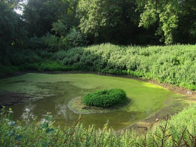
Image: © Simon Carey Taken: 20 Aug 2013
The pond first makes an appearance on the 1937-40 OS map though the older name of the wood is Cats Dell, with the latter suggesting a pit or excavation in the vicinity. See also Image
Images are licensed for reuse under creativecommons.org/licenses/by-sa/2.0
Image Location
Latitude
50.849868
Longitude
-0.518336