Crossing of Footpaths
Introduction
The photograph on this page of Crossing of Footpaths by Simon Carey as part of the Geograph project.
The Geograph project started in 2005 with the aim of publishing, organising and preserving representative images for every square kilometre of Great Britain, Ireland and the Isle of Man.

There are currently over 7.5m images from over 14,400 individuals and you can help contribute to the project by visiting https://www.geograph.org.uk
Crossing of Footpaths
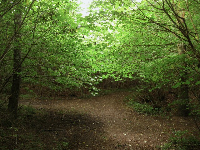
Image: © Simon Carey Taken: 20 Aug 2013
The north-south path from Clay Lane to Crossbush Lane crosses the east-west on that links Blakehurst Lane to Crossbush Lane. The latter is also a boundary between two sets of woodland; Poling Copse to the south of the path and The Isles to the north.
Images are licensed for reuse under creativecommons.org/licenses/by-sa/2.0
Image Location
Latitude
50.845239
Longitude
-0.522034