The Swan Public House at Newton Bromswold
Introduction
The photograph on this page of The Swan Public House at Newton Bromswold by Nigel Stickells as part of the Geograph project.
The Geograph project started in 2005 with the aim of publishing, organising and preserving representative images for every square kilometre of Great Britain, Ireland and the Isle of Man.

There are currently over 7.5m images from over 14,400 individuals and you can help contribute to the project by visiting https://www.geograph.org.uk
The Swan Public House at Newton Bromswold
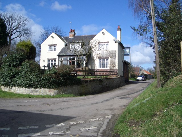
Image: © Nigel Stickells Taken: 7 Mar 2007
The Swan is tucked away on a no-through road on the south-eastern edge of the hamlet of Newton Bromswold. The lane to the left leads to the church and behind camera is a rustic byway to the hamlet of Knotting. The lane ahead marks the county boundary between Northamptonshire on the left and Bedfordshire on the right.
Images are licensed for reuse under creativecommons.org/licenses/by-sa/2.0
Image Location


Leaflet Map data © OpenStreetMap
Latitude
52.282156
Longitude
-0.535538