The Grinders
Introduction
The photograph on this page of The Grinders by Simon Carey as part of the Geograph project.
The Geograph project started in 2005 with the aim of publishing, organising and preserving representative images for every square kilometre of Great Britain, Ireland and the Isle of Man.

There are currently over 7.5m images from over 14,400 individuals and you can help contribute to the project by visiting https://www.geograph.org.uk
The Grinders
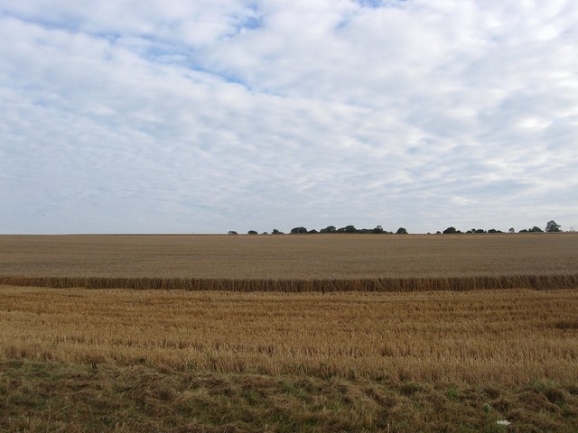
Image: © Simon Carey Taken: 20 Aug 2013
The name of the field according to Warningcamp's 1840 tithe map that once lay adjacent to Warningcamp Lane, whose section was also once known as Grinders Lane, but later was joined to neighbouring Image to make a larger unit. The name itself has contracted from an earlier Gryndeherst.
Images are licensed for reuse under creativecommons.org/licenses/by-sa/2.0
Image Location
Latitude
50.852308
Longitude
-0.526357