West End, Brasted
Introduction
The photograph on this page of West End, Brasted by Marathon as part of the Geograph project.
The Geograph project started in 2005 with the aim of publishing, organising and preserving representative images for every square kilometre of Great Britain, Ireland and the Isle of Man.

There are currently over 7.5m images from over 14,400 individuals and you can help contribute to the project by visiting https://www.geograph.org.uk
West End, Brasted
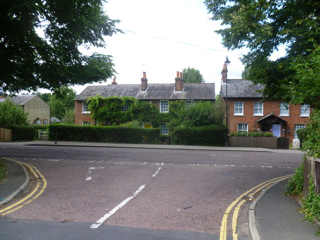
Image: © Marathon Taken: 19 Aug 2013
This view looks from the cul-de-sac known as West End across the very busy A25 during a rare break in the traffic. The A25 must have been horrendous before the M25 was built.
Images are licensed for reuse under creativecommons.org/licenses/by-sa/2.0
Image Location
Latitude
51.275152
Longitude
0.103203