Britannia Court
Introduction
The photograph on this page of Britannia Court by Peter Facey as part of the Geograph project.
The Geograph project started in 2005 with the aim of publishing, organising and preserving representative images for every square kilometre of Great Britain, Ireland and the Isle of Man.

There are currently over 7.5m images from over 14,400 individuals and you can help contribute to the project by visiting https://www.geograph.org.uk
Britannia Court
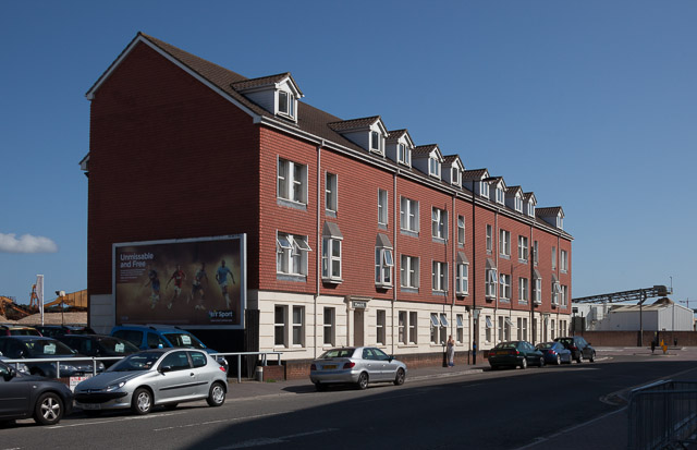
Image: © Peter Facey Taken: 22 Aug 2013
At the southern end of Britannia Road. The dark shadow looming over the foreground is from St Mary's Stadium which is off-picture right.
Images are licensed for reuse under creativecommons.org/licenses/by-sa/2.0
Image Location
Latitude
50.906325
Longitude
-1.389389