
Bridleway beside the Golf Course
Introduction
The photograph on this page of Bridleway beside the Golf Course by Des Blenkinsopp as part of the Geograph project.
The Geograph project started in 2005 with the aim of publishing, organising and preserving representative images for every square kilometre of Great Britain, Ireland and the Isle of Man.

There are currently over 7.5m images from over 14,400 individuals and you can help contribute to the project by visiting https://www.geograph.org.uk
Bridleway beside the Golf Course
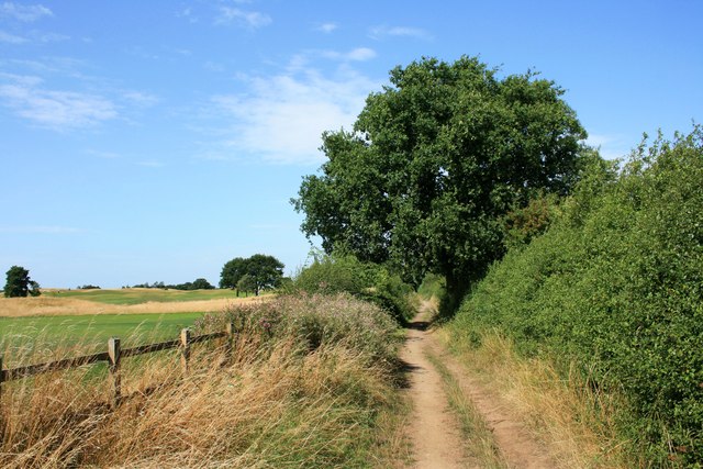
Image: © Des Blenkinsopp Taken: 20 Aug 2013
This is the signed and obvious pathway. However, the map shows a parallel path running beside it on the other side of the fence as well. I remember hearing tales when this golf course was being laid out of how they had got themselves in a mess over getting footpaths officially diverted. The story is that they had failed to divert a right of way which ran over the place where the new club house was going, and determined ramblers were exercising their right to stomp through the building site. On the big map you can still see this path marked, running right into the middle of the club house. So, I don't know, maybe you are entitled to stroll along the edge of the golf course if you want to.
Images are licensed for reuse under creativecommons.org/licenses/by-sa/2.0
Image Location

Latitude
51.73473
Longitude
-1.005409