What's over the gate, site of Canal Mills
Introduction
The photograph on this page of What's over the gate, site of Canal Mills by Humphrey Bolton as part of the Geograph project.
The Geograph project started in 2005 with the aim of publishing, organising and preserving representative images for every square kilometre of Great Britain, Ireland and the Isle of Man.

There are currently over 7.5m images from over 14,400 individuals and you can help contribute to the project by visiting https://www.geograph.org.uk
What's over the gate, site of Canal Mills
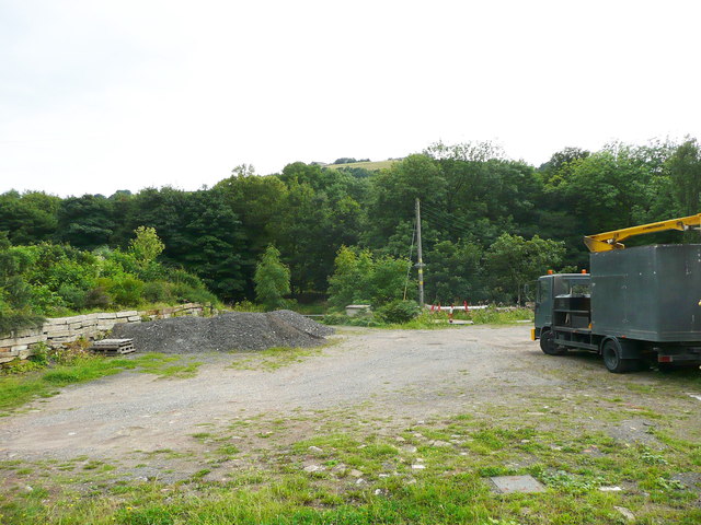
Image: © Humphrey Bolton Taken: 19 Aug 2013
I have often passed a high solid wooden gate in the wall that is all that remains of Canal Mills, and wondered what was on the other side. I was convinced that there must be a pumping station to pump water from the river to the canal, as there is sometimes a flow of water into the canal opposite the gate. Eventually I did the obvious thing, and held the camera up over the top of the gate. I am not much wiser!
Images are licensed for reuse under creativecommons.org/licenses/by-sa/2.0
Image Location
Latitude
53.708864
Longitude
-1.890127