Tower of London
Introduction
The photograph on this page of Tower of London by David Hallam-Jones as part of the Geograph project.
The Geograph project started in 2005 with the aim of publishing, organising and preserving representative images for every square kilometre of Great Britain, Ireland and the Isle of Man.

There are currently over 7.5m images from over 14,400 individuals and you can help contribute to the project by visiting https://www.geograph.org.uk
Tower of London
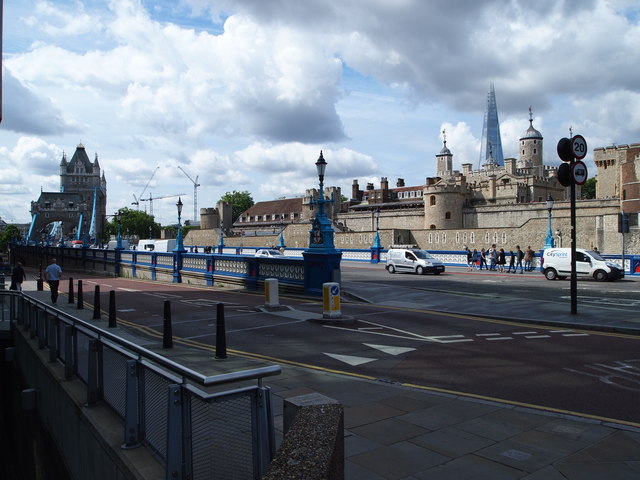
Image: © David Hallam-Jones Taken: 13 Aug 2013
Tower Bridge Approach is the section of the A100 road on the west side of the Tower of London leading towards Tower Bridge. In the foreground is St Katharine's Way descending towards the abutment tower (i.e. the secondary shore-based ancillary tower) on this northern side of the river. St Katharine Docks is also to be found at the foot of this incline.
Images are licensed for reuse under creativecommons.org/licenses/by-sa/2.0
Image Location
Latitude
51.508683
Longitude
-0.073833