Dudley Port Station
Introduction
The photograph on this page of Dudley Port Station by John M as part of the Geograph project.
The Geograph project started in 2005 with the aim of publishing, organising and preserving representative images for every square kilometre of Great Britain, Ireland and the Isle of Man.

There are currently over 7.5m images from over 14,400 individuals and you can help contribute to the project by visiting https://www.geograph.org.uk
Dudley Port Station
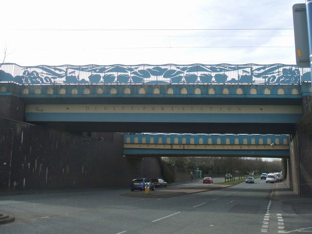
Image: © John M Taken: 11 Mar 2007
The bridge in the foreground carries the Wolverhampton to Birmingham main line over Dudley Port Road. The bridge behind is a canal aqueduct.
Images are licensed for reuse under creativecommons.org/licenses/by-sa/2.0
Image Location
Latitude
52.524156
Longitude
-2.048889