Culverhay Bridge
Introduction
The photograph on this page of Culverhay Bridge by Neil Owen as part of the Geograph project.
The Geograph project started in 2005 with the aim of publishing, organising and preserving representative images for every square kilometre of Great Britain, Ireland and the Isle of Man.

There are currently over 7.5m images from over 14,400 individuals and you can help contribute to the project by visiting https://www.geograph.org.uk
Culverhay Bridge
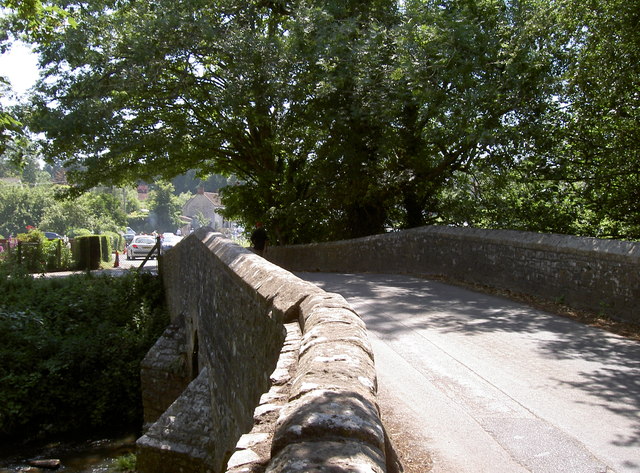
Image: © Neil Owen Taken: 6 Jul 2013
The River Chew gathers a number of tributaries from the springs in the hills nearby and flows under the bridge in Compton Dando. See Image] for a benchmark on the right-hand wall.
Images are licensed for reuse under creativecommons.org/licenses/by-sa/2.0
Image Location
Latitude
51.380065
Longitude
-2.508596