Spinney Hill
Introduction
The photograph on this page of Spinney Hill by Burgess Von Thunen as part of the Geograph project.
The Geograph project started in 2005 with the aim of publishing, organising and preserving representative images for every square kilometre of Great Britain, Ireland and the Isle of Man.

There are currently over 7.5m images from over 14,400 individuals and you can help contribute to the project by visiting https://www.geograph.org.uk
Spinney Hill
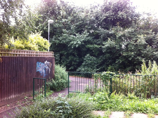
Image: © Burgess Von Thunen Taken: 15 Aug 2013
The junction of a path from Ennerdale Road with a path from Spinney Hill, alongside Bradlaugh Fields to the top of Boughton Green Road.
Images are licensed for reuse under creativecommons.org/licenses/by-sa/2.0
Image Location
Latitude
52.262385
Longitude
-0.872179