OS benchmark - 96 Lord Street
Introduction
The photograph on this page of OS benchmark - 96 Lord Street by Richard Law as part of the Geograph project.
The Geograph project started in 2005 with the aim of publishing, organising and preserving representative images for every square kilometre of Great Britain, Ireland and the Isle of Man.

There are currently over 7.5m images from over 14,400 individuals and you can help contribute to the project by visiting https://www.geograph.org.uk
OS benchmark - 96 Lord Street
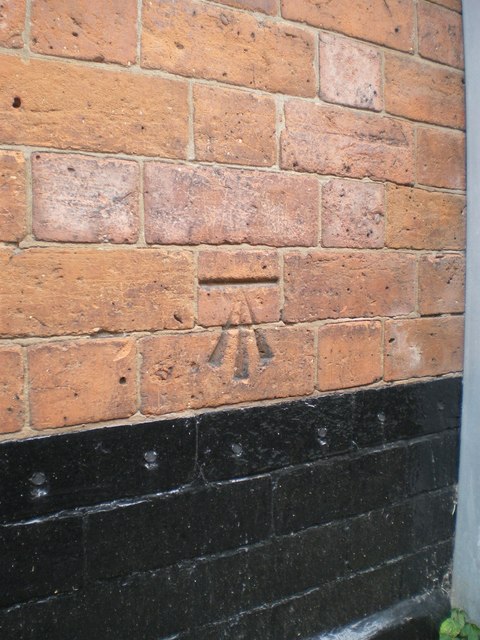
Image: © Richard Law Taken: 22 Aug 2013
OS cutmark in the brick of no 96 Lord Street - probably once a private dwelling, but these days it's a commercial property. The mark was originally levelled at 140.016m above Ordnance Datum Newlyn.
Images are licensed for reuse under creativecommons.org/licenses/by-sa/2.0
Image Location
Latitude
52.582132
Longitude
-2.138212