Winter Floods at Westhay Bridge
Introduction
The photograph on this page of Winter Floods at Westhay Bridge by Edwin Graham as part of the Geograph project.
The Geograph project started in 2005 with the aim of publishing, organising and preserving representative images for every square kilometre of Great Britain, Ireland and the Isle of Man.

There are currently over 7.5m images from over 14,400 individuals and you can help contribute to the project by visiting https://www.geograph.org.uk
Winter Floods at Westhay Bridge
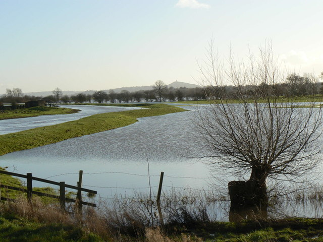
Image: © Edwin Graham Taken: 1 Jan 2013
Looking East - the Brue has overtopped and flooded the surrounding pasture fields - a fairly regular winter occurrence after heavy rain. In the distance is Glastonbury Tor. Compare the summer scene at Image or Image
Images are licensed for reuse under creativecommons.org/licenses/by-sa/2.0
Image Location
Latitude
51.179602
Longitude
-2.803241