Harker station (site/remains), 1997
Introduction
The photograph on this page of Harker station (site/remains), 1997 by Ben Brooksbank as part of the Geograph project.
The Geograph project started in 2005 with the aim of publishing, organising and preserving representative images for every square kilometre of Great Britain, Ireland and the Isle of Man.

There are currently over 7.5m images from over 14,400 individuals and you can help contribute to the project by visiting https://www.geograph.org.uk
Harker station (site/remains), 1997
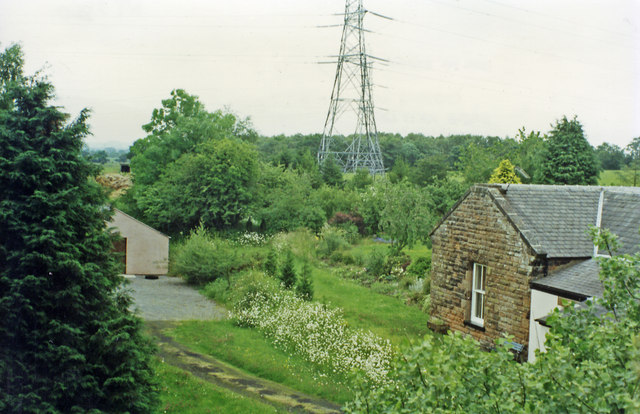
Image: © Ben Brooksbank Taken: 27 Jun 1997
View northwards, towards Hawick and Edinburgh: ex-NBR Edinburgh - Carlisle main line (Waverley Route). The station here had been closed to passengers since 1/11/29 (to goods 27/12/65), the whole line - tragically - from 6/1/69.
Images are licensed for reuse under creativecommons.org/licenses/by-sa/2.0
Image Location
Latitude
54.93942
Longitude
-2.95992