Strathfoyle Village Centre
Introduction
The photograph on this page of Strathfoyle Village Centre by Kay Atherton as part of the Geograph project.
The Geograph project started in 2005 with the aim of publishing, organising and preserving representative images for every square kilometre of Great Britain, Ireland and the Isle of Man.

There are currently over 7.5m images from over 14,400 individuals and you can help contribute to the project by visiting https://www.geograph.org.uk
Strathfoyle Village Centre
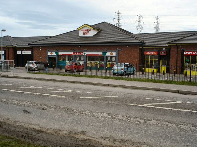
Image: © Kay Atherton Taken: 10 Jan 2007
These shops are recently built and are not on the 2004 Ordnance Survey Map. Behind are the pylons coming from Coolkeeragh Power Station.
Images are licensed for reuse under creativecommons.org/licenses/by-sa/2.0
Image Location
Latitude
55.032375
Longitude
-7.262609