Lower Common (1)
Introduction
The photograph on this page of Lower Common (1) by Simon Carey as part of the Geograph project.
The Geograph project started in 2005 with the aim of publishing, organising and preserving representative images for every square kilometre of Great Britain, Ireland and the Isle of Man.

There are currently over 7.5m images from over 14,400 individuals and you can help contribute to the project by visiting https://www.geograph.org.uk
Lower Common (1)
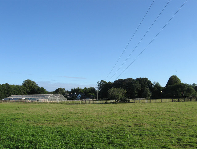
Image: © Simon Carey Taken: 19 Aug 2013
The name of the field according to Warningcamp's 1840 tithe map which was once one of the large open fields that surrounded the hamlet and survived from the medieval period until enclosure in 1812. During the 1850s the land was acquired by a local building society who began laying out roads and some building began including The Woodleighs and Sefton House, however, no large scale building occurred and eventually the land was partially occupied by nurseries, one of whom, Yeomans, still operate here. Sefton Place Cottages and Bethany are the two buildings which can be seen beyond the glasshouses.
Images are licensed for reuse under creativecommons.org/licenses/by-sa/2.0
Image Location
Latitude
50.856015
Longitude
-0.535049