Broken concrete
Introduction
The photograph on this page of Broken concrete by Pauline E as part of the Geograph project.
The Geograph project started in 2005 with the aim of publishing, organising and preserving representative images for every square kilometre of Great Britain, Ireland and the Isle of Man.

There are currently over 7.5m images from over 14,400 individuals and you can help contribute to the project by visiting https://www.geograph.org.uk
Broken concrete
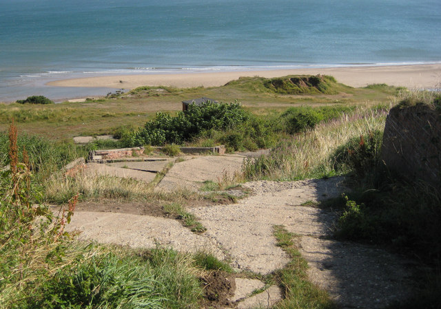
Image: © Pauline E Taken: 18 Aug 2013
Still providing a route down to the shore from the small car park at the end of Sands Road. RNLI is marked on some maps, so was this a former lifeboat station or slipway? This stands on Boat Cliff.
Images are licensed for reuse under creativecommons.org/licenses/by-sa/2.0
Image Location
Latitude
54.170106
Longitude
-0.254735