Humps for ? mile along Edmund Street Tylorstown
Introduction
The photograph on this page of Humps for ? mile along Edmund Street Tylorstown by Jaggery as part of the Geograph project.
The Geograph project started in 2005 with the aim of publishing, organising and preserving representative images for every square kilometre of Great Britain, Ireland and the Isle of Man.

There are currently over 7.5m images from over 14,400 individuals and you can help contribute to the project by visiting https://www.geograph.org.uk
Humps for ? mile along Edmund Street Tylorstown
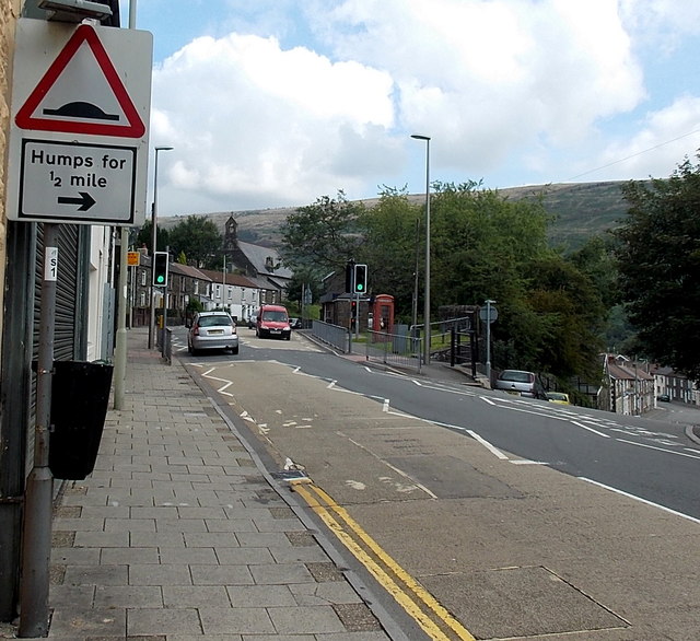
Image: © Jaggery Taken: 20 Aug 2013
The arrow on a sign at the edge of the A4233 East Road points right towards Edmund Street, where there are many houses and a school.
Images are licensed for reuse under creativecommons.org/licenses/by-sa/2.0
Image Location
Latitude
51.646125
Longitude
-3.432799