North side of Station Road bridge, Blaenllechau
Introduction
The photograph on this page of North side of Station Road bridge, Blaenllechau by Jaggery as part of the Geograph project.
The Geograph project started in 2005 with the aim of publishing, organising and preserving representative images for every square kilometre of Great Britain, Ireland and the Isle of Man.

There are currently over 7.5m images from over 14,400 individuals and you can help contribute to the project by visiting https://www.geograph.org.uk
North side of Station Road bridge, Blaenllechau
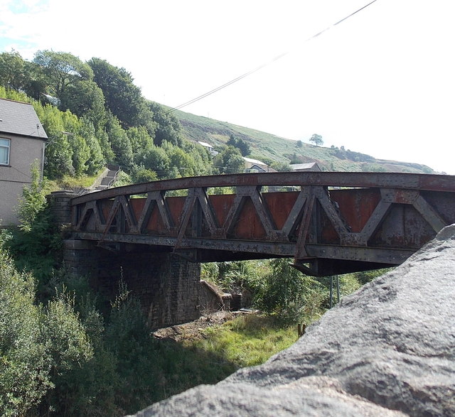
Image: © Jaggery Taken: 20 Aug 2013
The bridge carries Station Road over a footpath and cycleway, which use the track bed of a dismantled railway line. This location is adjacent to the site of the demolished Ferndale railway station. Passenger services in this area ceased in 1964.
Images are licensed for reuse under creativecommons.org/licenses/by-sa/2.0
Image Location
Latitude
51.664848
Longitude
-3.445825