Towards Coldbrook Park
Introduction
The photograph on this page of Towards Coldbrook Park by Alan Bowring as part of the Geograph project.
The Geograph project started in 2005 with the aim of publishing, organising and preserving representative images for every square kilometre of Great Britain, Ireland and the Isle of Man.

There are currently over 7.5m images from over 14,400 individuals and you can help contribute to the project by visiting https://www.geograph.org.uk
Towards Coldbrook Park
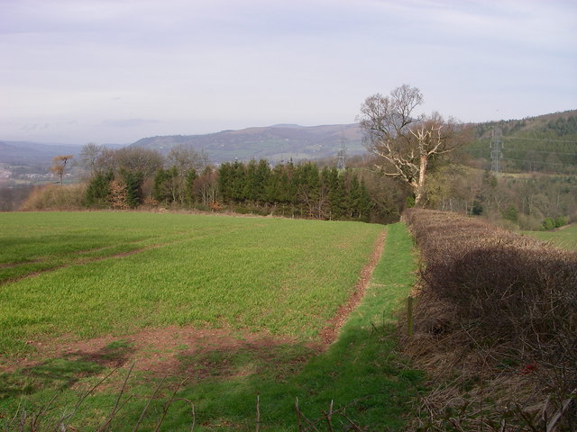
Image: © Alan Bowring Taken: 11 Mar 2007
The local countryside is a patchwork of fields and both coniferous plantations and copses spread across rolling hills. The afforested western slopes of Ysgyryd Fach can be seen as can the distinctive shape of Y Fal / Sugarloaf - visible in so many views in the Abergavenny area.
Images are licensed for reuse under creativecommons.org/licenses/by-sa/2.0
Image Location
Latitude
51.806843
Longitude
-2.993762