Road to Coalburn
Introduction
The photograph on this page of Road to Coalburn by G Laird as part of the Geograph project.
The Geograph project started in 2005 with the aim of publishing, organising and preserving representative images for every square kilometre of Great Britain, Ireland and the Isle of Man.

There are currently over 7.5m images from over 14,400 individuals and you can help contribute to the project by visiting https://www.geograph.org.uk
Road to Coalburn
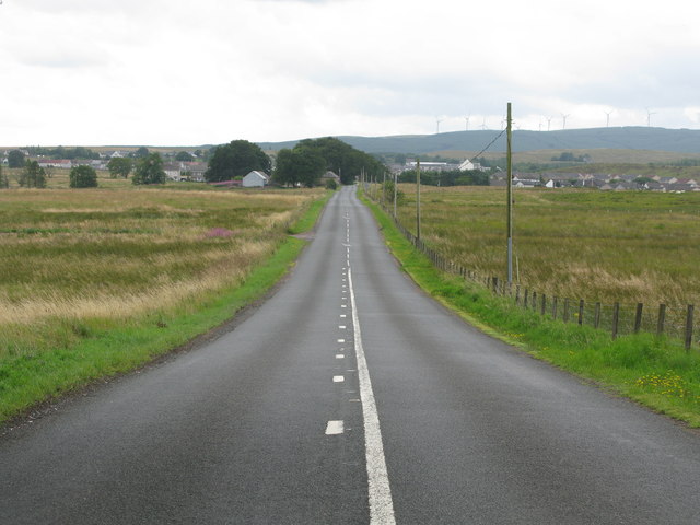
Image: © G Laird Taken: 20 Aug 2013
Coalburn can be seen in the distance with the now obligatory wind farm on the hill beyond. This is the reverse view to Image
Images are licensed for reuse under creativecommons.org/licenses/by-sa/2.0
Image Location
Latitude
55.603686
Longitude
-3.887841