Level crossing, Collins Lane, Purton, Wiltshire (2)
Introduction
The photograph on this page of Level crossing, Collins Lane, Purton, Wiltshire (2) by Brian Robert Marshall as part of the Geograph project.
The Geograph project started in 2005 with the aim of publishing, organising and preserving representative images for every square kilometre of Great Britain, Ireland and the Isle of Man.

There are currently over 7.5m images from over 14,400 individuals and you can help contribute to the project by visiting https://www.geograph.org.uk
Level crossing, Collins Lane, Purton, Wiltshire (2)
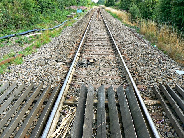
Image: © Brian Robert Marshall Taken: 20 Aug 2013
The line is closed pending the arrival of a construction team building a second track between Swindon (in the direction of view) and Kemble, about 15 kilometres behind the viewpoint. NOTE. This image has a detailed ‘shared description’ which you won’t see by viewing this image on a slideshow. To read it click on the image.
Images are licensed for reuse under creativecommons.org/licenses/by-sa/2.0
Image Location
Latitude
51.592473
Longitude
-1.857475