Field near Kale House Farm
Introduction
The photograph on this page of Field near Kale House Farm by Derek Harper as part of the Geograph project.
The Geograph project started in 2005 with the aim of publishing, organising and preserving representative images for every square kilometre of Great Britain, Ireland and the Isle of Man.

There are currently over 7.5m images from over 14,400 individuals and you can help contribute to the project by visiting https://www.geograph.org.uk
Field near Kale House Farm
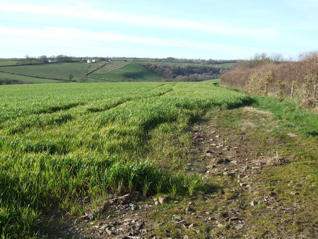
Image: © Derek Harper Taken: 10 Mar 2007
Looking NNW from the lane between Boasley Cross and Bratton Clovelly. Five fields have combined to form this one; the field boundaries shown on the 1:25000 map have vanished. In the distance (out of square) are buildings at Voulsdon Cross, and Voulsdon Copse, beyond the valley of a Thrushel tributary.
Images are licensed for reuse under creativecommons.org/licenses/by-sa/2.0
Image Location
Latitude
50.709249
Longitude
-4.163362