Near Domons
Introduction
The photograph on this page of Near Domons by Derek Harper as part of the Geograph project.
The Geograph project started in 2005 with the aim of publishing, organising and preserving representative images for every square kilometre of Great Britain, Ireland and the Isle of Man.

There are currently over 7.5m images from over 14,400 individuals and you can help contribute to the project by visiting https://www.geograph.org.uk
Near Domons
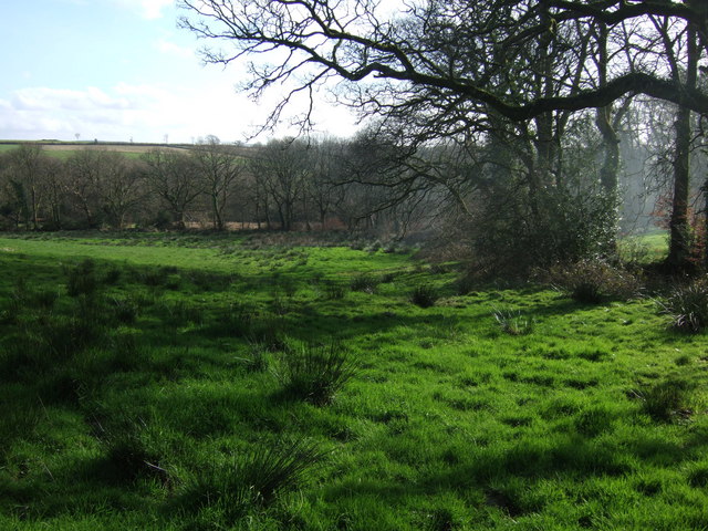
Image: © Derek Harper Taken: 10 Mar 2007
The edge of field beside a garden at one of the properties at Domons, once the rectory for Bratton Clovelly, although a kilometre east of the village. The shallow valley drains west (right) towards the village to meet a tributary of the Thrushel.
Images are licensed for reuse under creativecommons.org/licenses/by-sa/2.0
Image Location
Latitude
50.7058
Longitude
-4.160229