Field at Fursdon
Introduction
The photograph on this page of Field at Fursdon by Derek Harper as part of the Geograph project.
The Geograph project started in 2005 with the aim of publishing, organising and preserving representative images for every square kilometre of Great Britain, Ireland and the Isle of Man.

There are currently over 7.5m images from over 14,400 individuals and you can help contribute to the project by visiting https://www.geograph.org.uk
Field at Fursdon
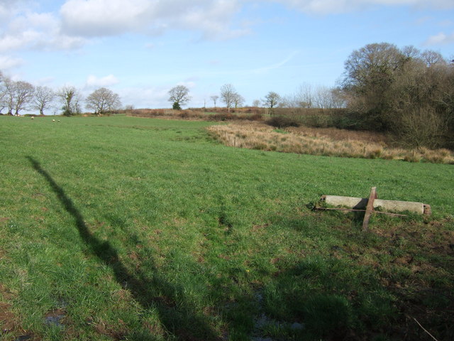
Image: © Derek Harper Taken: 10 Mar 2007
Seen from Bratton Clovelly Bridleway 13 as it passes Fursdon Farm, this view looks across the northern edge of the square past a small wood on the right.
Images are licensed for reuse under creativecommons.org/licenses/by-sa/2.0
Image Location
Latitude
50.707567
Longitude
-4.152237