Shadowy bus shelter in Tylorstown
Introduction
The photograph on this page of Shadowy bus shelter in Tylorstown by Jaggery as part of the Geograph project.
The Geograph project started in 2005 with the aim of publishing, organising and preserving representative images for every square kilometre of Great Britain, Ireland and the Isle of Man.

There are currently over 7.5m images from over 14,400 individuals and you can help contribute to the project by visiting https://www.geograph.org.uk
Shadowy bus shelter in Tylorstown
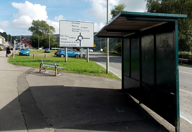
Image: © Jaggery Taken: 20 Aug 2013
Located alongside the A4233 Pleasant View. At the roundabout ahead, straight on for Ferndale, Maerdy and Aberdare, or turn left for Penrhys and locations in the Rhondda Fawr valley (this is the Rhondda Fach valley).
Images are licensed for reuse under creativecommons.org/licenses/by-sa/2.0
Image Location
Latitude
51.644417
Longitude
-3.432745