Deri Terrace from Tylorstown to Pontygwaith
Introduction
The photograph on this page of Deri Terrace from Tylorstown to Pontygwaith by Jaggery as part of the Geograph project.
The Geograph project started in 2005 with the aim of publishing, organising and preserving representative images for every square kilometre of Great Britain, Ireland and the Isle of Man.

There are currently over 7.5m images from over 14,400 individuals and you can help contribute to the project by visiting https://www.geograph.org.uk
Deri Terrace from Tylorstown to Pontygwaith
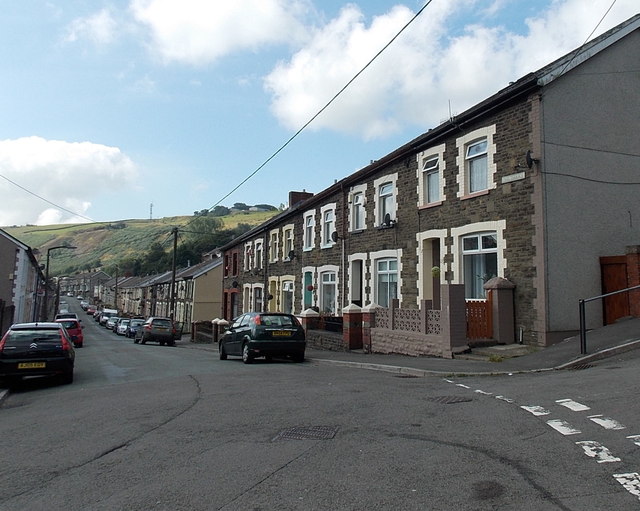
Image: © Jaggery Taken: 20 Aug 2013
Looking south towards Madeline Street in Pontygwaith. This end of Deri Terrace is in Tylorstown. There are no boundary signs in Deri Terrace to mark the village boundaries.
Images are licensed for reuse under creativecommons.org/licenses/by-sa/2.0
Image Location
Latitude
51.640538
Longitude
-3.433779