The Prior(y) pub, Earlesfield
Introduction
The photograph on this page of The Prior(y) pub, Earlesfield by JThomas as part of the Geograph project.
The Geograph project started in 2005 with the aim of publishing, organising and preserving representative images for every square kilometre of Great Britain, Ireland and the Isle of Man.

There are currently over 7.5m images from over 14,400 individuals and you can help contribute to the project by visiting https://www.geograph.org.uk
The Prior(y) pub, Earlesfield
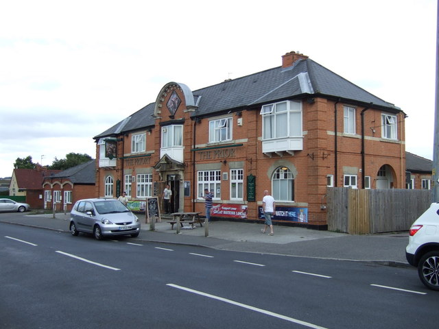
Image: © JThomas Taken: 17 Aug 2013
Although the right hand sign shows the name as "The Prior", the pub is actually called "The Priory" - the "Y" seems to have fallen off at some stage. Signage was then changed sometime in the following year as documented in - Image]
Images are licensed for reuse under creativecommons.org/licenses/by-sa/2.0
Image Location
Latitude
52.909895
Longitude
-0.658998