Balloch
Introduction
The photograph on this page of Balloch by Richard Webb as part of the Geograph project.
The Geograph project started in 2005 with the aim of publishing, organising and preserving representative images for every square kilometre of Great Britain, Ireland and the Isle of Man.

There are currently over 7.5m images from over 14,400 individuals and you can help contribute to the project by visiting https://www.geograph.org.uk
Balloch
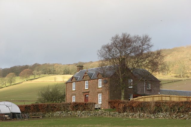
Image: © Richard Webb Taken: 10 Mar 2007
Not all polytunnels are for fruit. The one in front of the house is a lambing shed. Other buildings here are being converted into houses.
Images are licensed for reuse under creativecommons.org/licenses/by-sa/2.0
Image Location
Latitude
56.631865
Longitude
-3.203961