Landscaping below Millbrook Towers, Millbrook Street
Introduction
The photograph on this page of Landscaping below Millbrook Towers, Millbrook Street by Robin Stott as part of the Geograph project.
The Geograph project started in 2005 with the aim of publishing, organising and preserving representative images for every square kilometre of Great Britain, Ireland and the Isle of Man.

There are currently over 7.5m images from over 14,400 individuals and you can help contribute to the project by visiting https://www.geograph.org.uk
Landscaping below Millbrook Towers, Millbrook Street
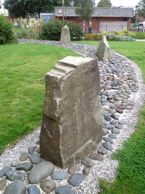
Image: © Robin Stott Taken: 17 Aug 2013
Viewed from many floors up in a housing development, landscaping using large-scale shapes creates a sense of place.
Images are licensed for reuse under creativecommons.org/licenses/by-sa/2.0
Image Location
Latitude
53.404646
Longitude
-2.156843